
Managed aquifer recharge (MAR) stores water in aquifers for later recovery or environmental benefit. The MAR application maps where a defined type of scheme is feasible and narrows a region down to the areas that justify field investigation.
OutputSuitability map per category and a combined feasibility map
DecisionPrioritisation of areas for field investigation of potential MAR schemes
ScaleWatershed to continent
Built forA defined MAR typology
Default categories
A MAR scheme needs an aquifer that can receive and store water, a source of water and a demand for the recovered water. The suggested criteria follow the AGREEMAR feasibility matrix and fall into four categories, each with its own suitability map. These default categories can be renamed or removed by the user, and new categories can be added.
Intrinsic site suitability
Capacity of the surface, the unsaturated zone and the aquifer to infiltrate, store and transmit water.
Availability of water
Quantity and quality of the source water, and its distance from the recharge site.
Water demand
Domestic, agricultural, industrial and environmental needs met by the recovered water or by recharge itself.
Non-physical considerations
Governance, social acceptance, costs and operational safety of a scheme.
The criteria library is maintained continuously. In each project, criteria can be added, removed or renamed.
MAR typology
Criteria, scoring directions and weights depend on the type of scheme. Each MAR project records the typology its map is built for; the selection appears in the report and in the metadata of exported maps.
- Main objective
- Recharge technique
- Source water
- Use of recovered water
- Target aquifer
Constraints
Constraints exclude areas from the analysis regardless of their score, such as protection zones, built-up areas or contaminated land. The suggested constraints follow a modified PESTLE framework: Planning, Economic, Social, Technical, Legal, Environmental.
From criteria to feasibility
- CriteriaStandardised to a common scale in the direction set by the typology
- Category mapsWeights within each category give its suitability map
- Feasibility mapWeights between the categories combine the category maps
- Candidate areasContiguous areas of very high feasibility in which no criterion falls below a minimum value
The typology influences how the criteria are scored by the user: spreading methods require a thick unsaturated zone, well injection does not; proximity to the coast lowers the score of a storage scheme and raises that of a seawater-intrusion barrier. Weights come from the analytic hierarchy process, ranking, rating, the multi-influencing factor method or an anonymous stakeholder survey.
Results
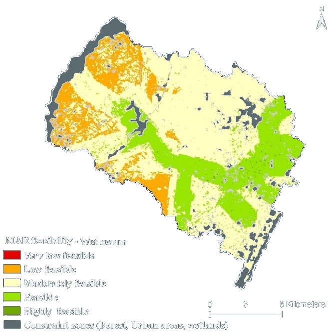
The result classes rank the locations within the study area; they do not represent an absolute recharge capacity.
Sensitivity analysis shows which areas of high feasibility persist when the weights change. Validation against existing MAR sites will follow in a later version.
Typical questions
- Which parts of a region combine favourable aquifer conditions, available source water and water demand?
- Where can infiltration basins fed by treated wastewater be implemented?
- How does the feasible area differ between the dry and the wet season, or between stakeholder groups?
- Which candidate areas should be investigated first?
Case stories
-
 Case stories
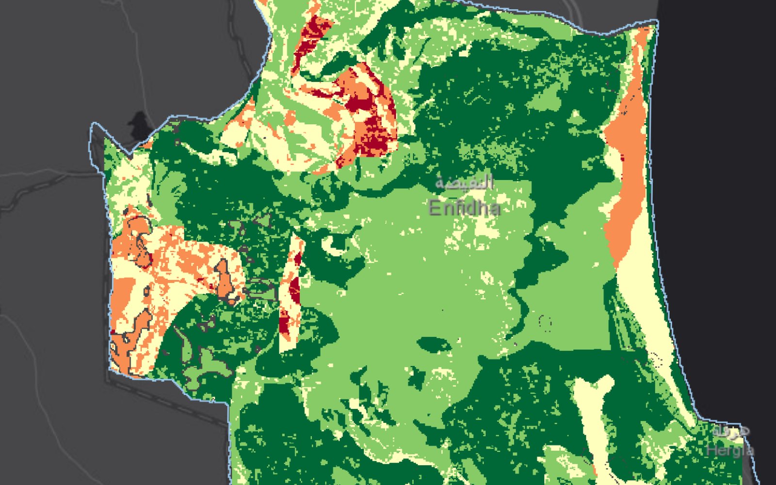
Enfidha, Tunisia: where MAR is suitable and where it is feasible
Read more →: Enfidha, Tunisia: where MAR is suitable and where it is feasible -
 Case stories
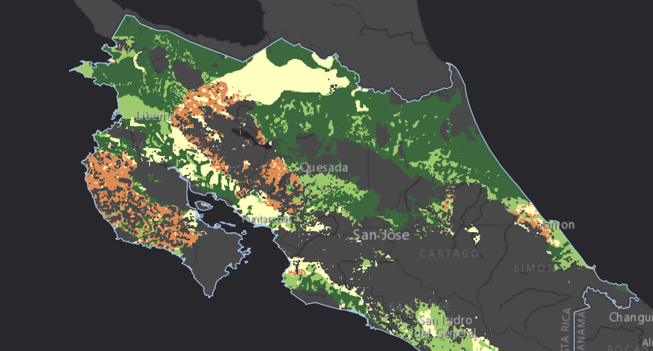
Costa Rica: where spreading methods can recharge aquifers
Read more →: Costa Rica: where spreading methods can recharge aquifers -
 Case stories
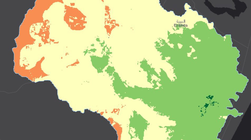
Chiba, Tunisia: stakeholders weight MAR feasibility
Read more →: Chiba, Tunisia: stakeholders weight MAR feasibility
References
- AGREEMAR (2022). Annex to Deliverable D2.1: Matrix of feasibility criteria for managed aquifer recharge, version 2, 2 November 2022.
- Chekirbane, A., Khemiri, K., Martins, T.N., Stefan, C., Panagiotou, C.F. (2025). A participatory GIS-based multicriteria decision analysis approach to map the geospatial feasibility of managed aquifer recharge in a Tunisian coastal watershed. Environmental Processes 12, 28. doi:10.1007/s40710-025-00769-z
- Dillon, P., Stuyfzand, P., Grischek, T., et al. (2019). Sixty years of global progress in managed aquifer recharge. Hydrogeology Journal 27, 1–30. doi:10.1007/s10040-018-1841-z
- Sallwey, J., Bonilla Valverde, J.P., Vásquez López, F., Junghanns, R., Stefan, C. (2019). Suitability maps for managed aquifer recharge: a review of multi-criteria decision analysis studies. Environmental Reviews 27, 138–150. doi:10.1139/er-2018-0069
Start a MAR project
Select “MAR site suitability” when creating a project. The suggested criteria and constraints appear in steps 2 and 4.